EXPERIENCES AND TREKKING ACTIVITIES
Great War Trail

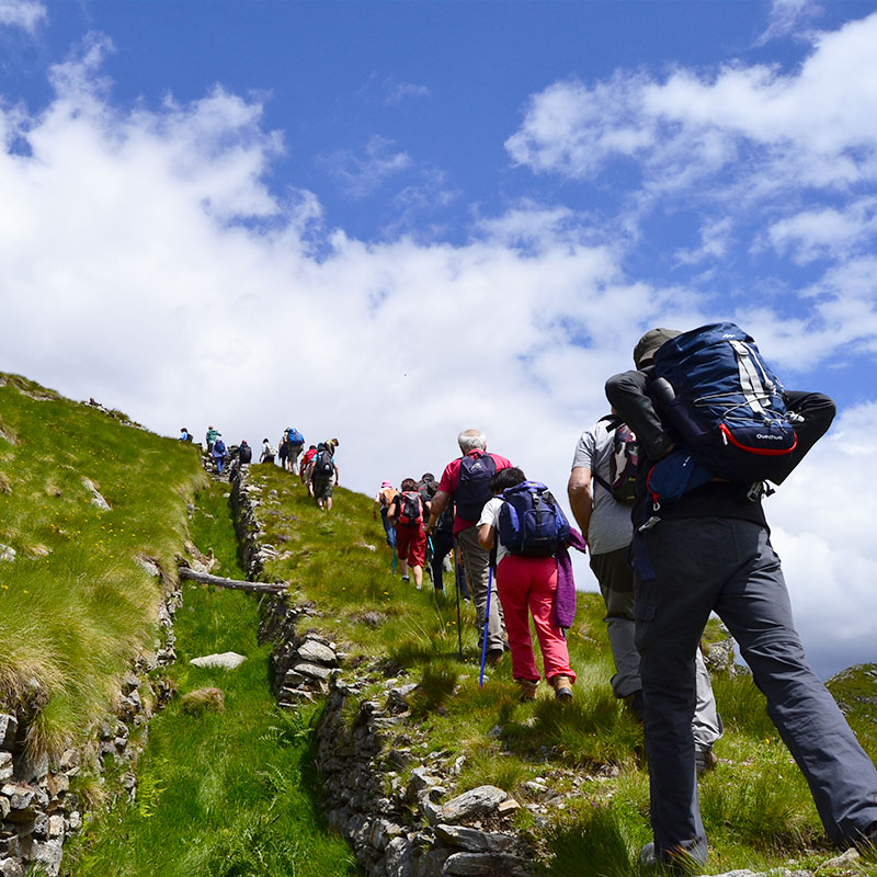
A unique fascinating trail, an old mule track that takes us on top of the border crest on the Italian battlefront where it is possible to stumble across trenches, tunnels and munitions dating back to the Great War.
Activity: Trekking trail
Level: Suitable for high altitude experienced trekkers
STARTING POINT
Rifugio Tognola
DURATION
4 h 30 min
LEVEL
Intermediate
ELEVATION GAIN
450 / 650 meters
DISTANCE
8 / 13 km
TRAIL DESCRIPTION
This trail follows an ancient mule track that leads exactly to the border crest, on the Italian battlefront.
On the crests of Cima Tognola and along the entire route it will be possible to observe tunnels, trenches and munitions dating back to the Great War. Here, you can find information panels that will tell you the story of these places during the First World War, describing the fighting conditions.
You may complete the Great War Trail in two alternative variants. A shorter one follows a loop route that starts and ends at Rifugio Tognola, with 650 meters of elevation gain and a total distance of 8 km. The longest variant, with 450 meters of elevation gain and a total distance of 13 km, descends to San Martino di Castrozza.
During July and August it is possible to participate in guided tours along the Great War Trail, to discover these places full of history accompanied by Le Aquile di San Martino Group Alpine Guides.
WATCH THE VIDEO
THE HISTORY
Alpe Tognola is located close to Catena del Lagorai Crests that between 1915 and 1918 were transformed into bloody battlefield between Italian and Austrian forces.
The first Italian battlefront was located on Cima Tognola crests, that from San Martino di Castrozza descended until Vanoi valley; the Austrian troupes were stationed, on the other hand, on the highest peaks of Lagorai, Ceremana, Colbricon and Cima Cece.
Following the Italian conquest of the Austrian front in summer 1916, Cima Tognola Crests became a secondary defence line, where today evidences of war artefacts of those years are still present; some of them in perfect conditions.
FOOD AND DRINKS ALONG THE TRAIL
This trekking trail starts from Rifugio Tognola, where you will be able to stay and try local typical food with high quality and zero-miles ingredients, and from Malghetta Tognola where you may have sandwiches and light local dishes.
BOOKING AND INFOPOINT
Alpe Tognola Booking and Infopoint Office is dedicated to bookings and information and is located in the station above Tognola Cable car, in front of the Ticket office.
Chiara Scalet, office manager will recommend you the activities and events to which participate to and will be an essential logistic support while organizing your vacation in San Martino di Castrozza.
The service is active every day from 8:30 am to 4:30 pm
- Phone: +39 0439 68026
- Mobile: +39 349 0038400
- Email: infopoint@tognola.it


